Contours & Ground Model
N D Oliver & Co Ltd, Chartered Land Surveyors, are experts in the collection, organisation, presentation and delivery of spatial data. The quality of our survey data presentation is a key factor in explaining why over 80% of our work is repeat business. Our clients get what they need and they keep coming back for more.
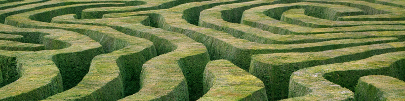
A Contour is a line on a drawing between points of equal elevation. A Ground Model is an electronic version of a contour drawing. The relationship between individual contours also forms part of the Ground Model.
A contoured survey from us will help you:
» design with confidence
accurately knowing the shape, size and levels of the site or building» reduce the risk of delays in your project
» understand and explain graphically to your clients and colleagues
You can quickly see the lie of the land if you have contours on a drawing. You can use a contoured drawing to produce your own sections and volumes. We can provide you with contours, sections, volumes and ground models from the survey data.
The Ground Model can be used in other software such as volumes, sections and 3D visualisations. The Ground Model can also be loaded onto Total Stations and GPS for on site checking of levels. Check anywhere within the site.
View samples of our work and see for yourself.
Contact us today to discuss your needs.
